|
Many thanks for permission to use graphics from their software and toposheets |
|
|
20 September 2007 In the Steps of Jack LeighChapter 3: Grey Lynn, Western Springspage 4 Our original walk was subject to time constraints, and we started here. At 12.30pm when we arrived we'd come through some heavy showers and there was still a steady light drizzle as we tackled some lunch and peered out through the windows.
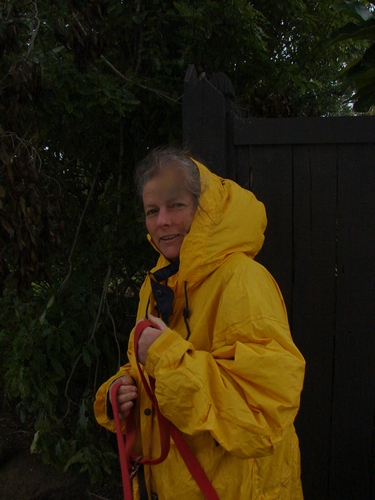
Weather report said, "Showers, clearing...". The sky was an even and soggy grey-white. Alice reckoned it was time for a walk, any kind of a walk. We unshipped our parkas.
Miranda grabbed Alice and I tucked my camera away from the spits. We're at the top of the Bullock Track. For a period of about thirty years from 1877, Western Springs was the site of the Auckland Abbattoir, according to Jack — the same year that the Springs became the source of the Auckland water supply. The area over to the left was once nearly all market garden, giving meaning to the local name, Chinaman's Hill, for the stretch of Great North Rd between the Bullock Track and Surrey Crescent. Jack tells the story of Thomas Wong Doo, who, until 1908, was one such gardener, and the father of well-known Auckland merchant, Norman Doo. He lived to be over 90, and reckoned he owed his years to the water in Western Springs Lake, in which he bathed daily, and whose water he carried home in buckets on his shoulder. As Jack says, "Faith is beautiful—a tonic in itself", but by 1898, the quality of the Springs water had already been judged to be appalling. It was another 7 years before the Waitakere Tramline was constructed and two more years before water from the Waitakeres was available: "The piping project, carried out by Mr J A Moody The main concrete dam was completed in 1910. The Western Springs area became home to a number of industries involved in the processing of animal by-products - soap making, tanning etc. Warnock St in Grey Lynn is, I believe, named for Warnocks whose factory in Richmond Rd made soap.
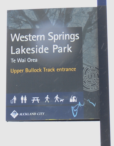
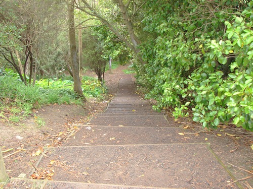
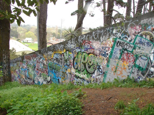
A sign marks the beginning of the walking track down to the lake, and features at the same time one of the defining characteristics of the area and of the walk: graffiti. We head across to the top of the path leading down.
The steps are probably better than what was here before, but unlike DoC and ARC steps, these have been done on the cheap with 2.5mm timber framing which bulges and twists, with inadequate reinforcing at the sides. I suspect, to look at them, they've been built ad hoc without too much previous thought or design, and without too much thought being given to parallel and even. My immediate reaction is to compare it with what North Shore City Council have achieved along the riverbank at Albany, or ARC, anywhere.
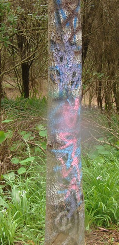
The trees carry their share of tagging, and I notice a drop of water on the front of my lens filter. I produce the superabsorbent wiper from the bag and carefully remove it.
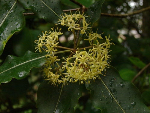
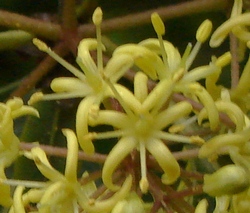
Hello, tarata (Pittosporum eugenoides) in flower.
I move in for a closer shot. These are the first tarata flowers I have seen since I bought the Sony H2.
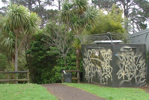
I think the original idea was that if graffiti artists were employed to create something magnificent, it might be left alone, but that was probably naive.
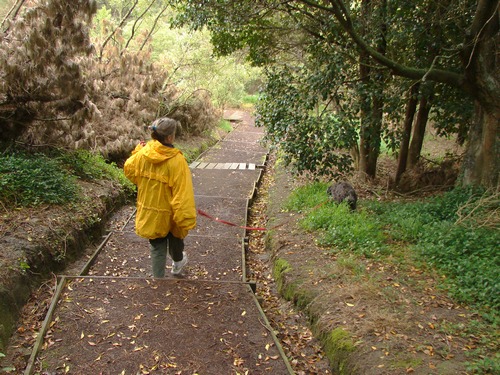
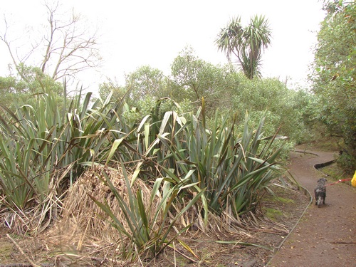
We head off to the left down the regular track. It's scruffy.
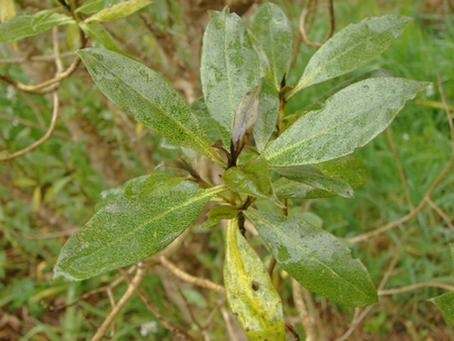
Ngaio is not an attractive shrub, though its hardiness and vigour make it popular in "native" reafforestation projects in parks and elsewhere. I'm not even sure this isn't its Australian cousin.
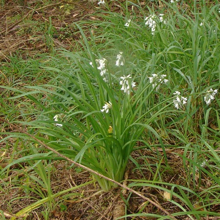
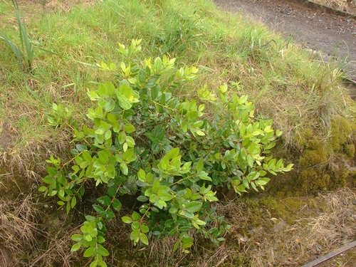
Wild onion are doing well. this would be one of the largest plants I've seen
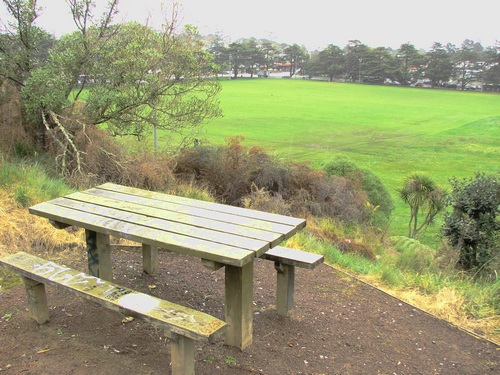
More graffiti. And here I have another question. Would you choose this exposed and scruffy spot for a sit down picnic? Why, why, why would anyone site a picnic table here, when 5 minutes away is the infinitely more attractive lakeside park?
Another refugee from a landscaping contract.
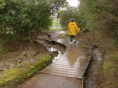
It's still pretty wet from the earlier rain. Alice is just fine with that. Intensifies smells, you know.
|
|